


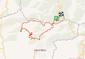

14 km | 22 km-effort


User


FREE GPS app for hiking
 SityTrail
IGN / Geographical institutes
SityTrail World
The world is yours!
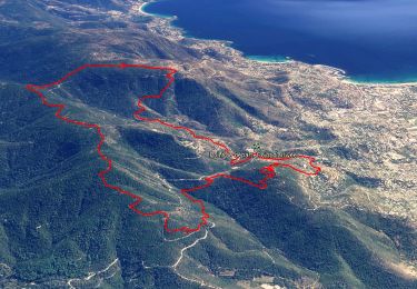
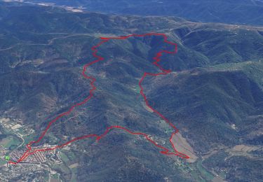
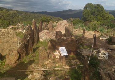
Trail Running of 17.6 km to be discovered at Provence-Alpes-Côte d'Azur, Var, La Londe-les-Maures. This trail is proposed by jerome_83.
Assez difficile de trouver sa route dans le fond de la vallée: beaucoup de chemins et d'intersections. La montée n'en finit pas ...

Walking
Walking
Walking
Walking

Mountain bike

Walking
Walking
Walking
Walking